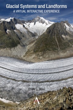
Glacial Systems and Landforms
A Virtual Interactive Experience
By Ryan C. Bell
Other Formats Available:
- About This Book
- Reviews
- Author Information
- Series
- Table of Contents
- Links
- Podcasts
About This Book
Using Google Earth, this guide offers a virtual interactive experience in which students can visit and explore glacier environments in 3D. Ryan C. Bell demonstrates how the explosion of satellite imagery and remote sensing technologies has further helped reveal the hidden truths of glacial environments by providing new methods of mapping and measuring glacial ice.
Taking advantage of the recent proliferation in high-resolution satellite imagery, this guide includes a series of satellite images from NASA’s Earth Observatory. By studying these images students will not only start to recognize the patterns and processes commonly found within glacial landscapes, but will also develop skills in map analysis and interpretation. Such guided inquiry activities range from calculating the Mendenhall Glacier’s rate of melting to identifying erosional landforms in the Swiss Alps.
Included within this book is a guided final project in which students have the opportunity to develop and present a Google Earth tour of various glacial landforms, allowing them to “fly” from one location to the next. The volume also reveals how past and present glaciations profoundly influence almost every aspect of life on Earth and can provide answers and solutions to current climate problems.
Reviews
“This is an invaluable teaching tool about glaciers, landforms and climate history. It concisely and clearly explains complex material; its chapter reviews highlight critical points; and its Google Earth exercises facilitate excellent experiential learning. I will use this book to prepare my students for their study abroad experience in Antarctica!” —Dr James Spiller, Associate Professor of History, The College at Brockport, State University of New York
“Using Google Earth to analyze a glacier’s erosional and depositional evidence is a powerful tool for student understanding.” —Shawn McNamara, teacher of AP Environmental Science/Earth Science, Grosse Pointe South High School, Michigan
“‘Glacial Systems and Landforms’ creates a unique educational experience that incorporates incredible, detailed descriptions in text, as well as a virtual experience which allows students to see present-day images of glaciers and the landscapes the ice has left behind.” —Sean C. Metz, teacher of Earth Science, Brighton High School, New York
Author Information
Ryan C. Bell teaches Earth Science and AP Environmental Science at Sutherland High School in Pittsford, New York.
Series
Anthem Learning Geography
Table of Contents
Acknowledgments; List of Figures; How to Use This Book: A Note to the Student and Teacher; Chapter 1: Introduction; Chapter 2: What is a Glacier?; Chapter 3: Types and Locations of Glaciers; Chapter 4: How Do Glaciers Move?; Chapter 5: Ice Structures; Chapter 6: Glacial Erosion; Chapter 7: Landforms of Glacial Erosion; Chapter 8: Glacial Deposition; Chapter 9: Landforms of Glacial Deposition; Chapter 10: Ice Ages and Interglacial Periods; Chapter 11: Periglacial Environments; Chapter 12: Glaciers and Global Warming; Chapter 13: Final Project; Bibliography; Index
Links
Stay Updated
Information
Latest Tweets


